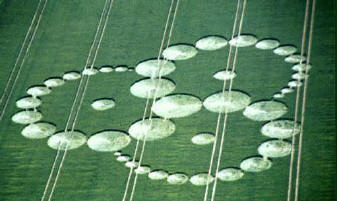
What factors influence the location of crop circles? What is their relationship to various geographical variables such as population density, road networks, and cultural heritage sites? This paper examines the spatial distribution of crop circles that appeared in the English countryside during 2002 and seeks to understand their positioning in terms of various artificial features. Through Geographic Information System (GIS) mapping and spatial analysis, the distribution of reported crop circles is shown to be a highly clustered one, which centres on certain cultural heritage sites such as Avebury and high population density areas across England, particularly in the south. Crop circles are also shown to be aligned with some of England's principal motorways. These findings cast doubt on paranormal theories explaining crop circles as the result of natural forces such as plasma vortices, indicating instead that some form of intelligence (human or otherwise) is the principal agent.
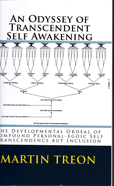
In today’s secular environment the two worlds of science and spirituality are alien worlds, distinguished primarily by a deep-seated antagonism in which the principles of spirituality and the pragmatism of modern science exist face to face in a peren
A story with original photography, digital art, and illustration, about Son of Waves, 12 Dolphins to save the planet, David The Visionary on the beach in Tel Aviv, a digital messiah, and an internet of Love. Free PDF download.